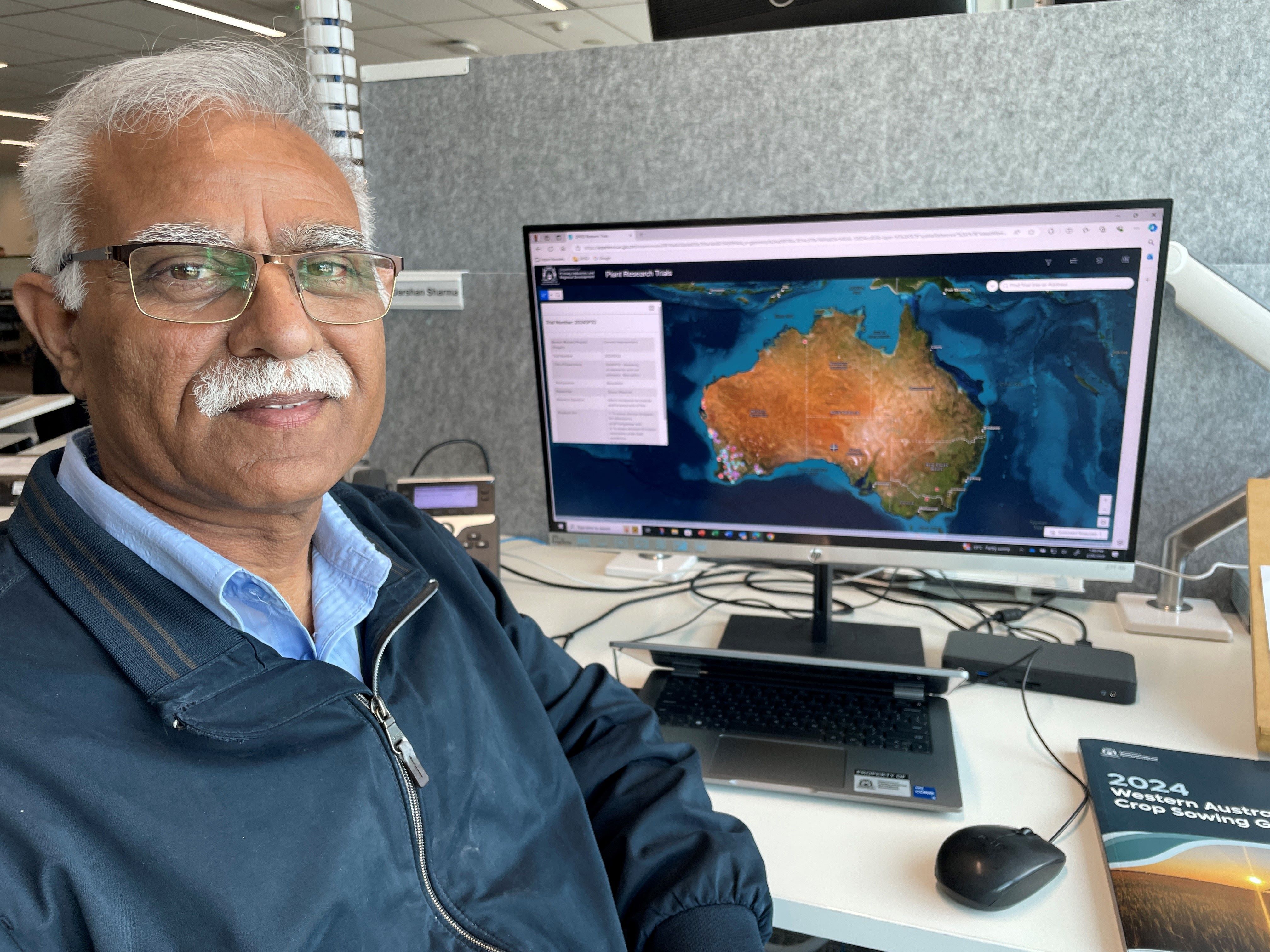
The interactive map, which is produced annually, showcases the department’s grains research trials from Kununurra to Esperance.
DPIRD Grains Acting Director Darshan Sharma said the map served as a valuable resource for discovering on-the-ground efforts to enhance productivity and profitability in the industry.
“These trials provide crucial insights for innovation, validation of research ideas, standardisation of known technologies tailored to specific regions and soils and extension activities to boost the profitability of WA grain growers,” Dr Sharma said.
“It features trials at DPIRD’s research facilities in Northam, Merredin, Wongan Hills, Katanning, Manjimup, Carnarvon, Geraldton and Kununurra, along with many trials on growers’ properties.
“These trials have led to agronomic gains from advances in crop genetics and improvements in agronomy and the management of weeds, pests, and diseases.”
The map has been upgraded to a new platform this year, utilising DPIRD's Geographic Information System software, a powerful tool for mapping and analysing spatial data.
DPIRD’s grains research encompasses various aspects of grain production, including soil science, crop nutrition, crop protection, crop science, genetic improvement, and farming systems innovation.
This research underpins the State’s valuable grains industry, addressing local production challenges and enhancing the sustainability and profitability of Western Australian grain businesses.
The map includes DPIRD's collaborative research with external partners such as the Grains Research and Development Corporation, CSIRO, universities and grower groups.
Each trial is numbered and includes contact details, enabling stakeholders to connect with research scientists for more information on the ongoing work.
To view the map, visit www.agric.wa.gov.au and search for '2024 research trials map'.