The Department of Water and Environmental Regulation has released new Indicator Program Report Cards to make it easier to track the health of the Vasse Wonnerup wetlands in Busselton.
The digital report cards present the results of long-term ecological monitoring in a clear and accessible format. They summarise performance across key environmental indicators and will be updated annually to support ongoing tracking of wetland conditions.
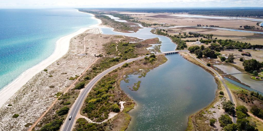
The Vasse Wonnerup wetlands are listed as a Wetland of International Importance under the Ramsar Convention and are valued for their environmental, cultural and recreational significance.
The report cards draw on spring and summer monitoring of water quality, aquatic plants, macroinvertebrates, fish and waterbirds. They translate complex scientific data into simple grades to support community understanding and informed decision-making.
The monitoring program is delivered in partnership with the Department of Biodiversity, Conservation and Attractions, Murdoch University and Edith Cowan University.
Funding is provided through the Revitalising Geographe Waterways and Healthy Estuaries WA programs, supporting ongoing efforts to protect and restore Western Australia’s waterways.
The report cards are available on the Revitalising Geographe Waterways website.