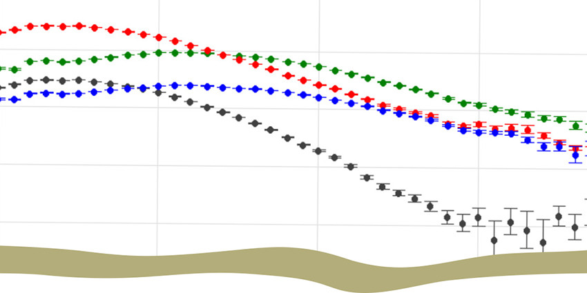
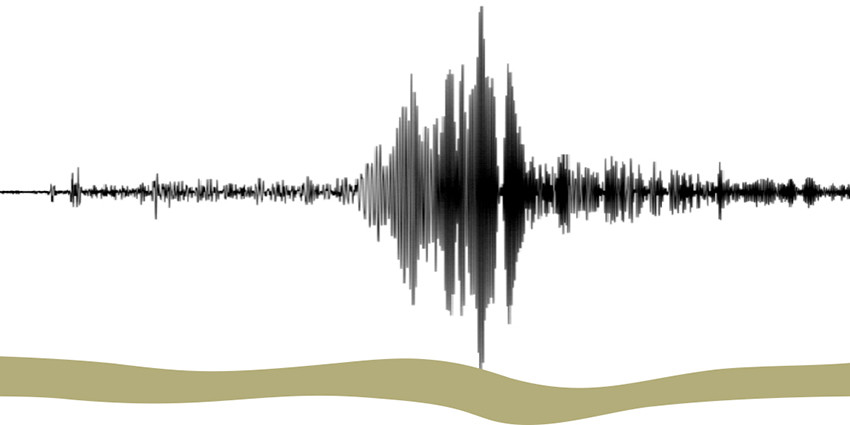
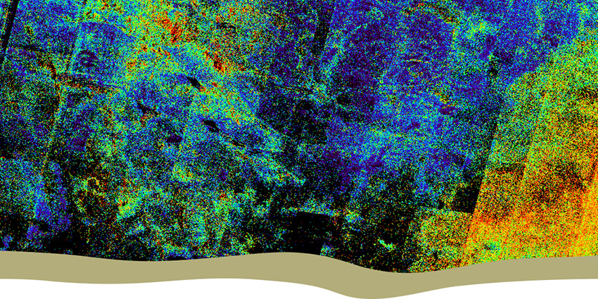
In Western Australia, the State and Federal governments have collected a lot of regional geophysical survey data. This includes airborne magnetic, radiometric, electromagnetic surveys, ground and airborne gravity surveys, as well as deep reflection seismic, passive seismic, and magnetotelluric (MT) surveys.
We combine data from both government and non-confidential company airborne surveys to create statewide grids and images for magnetic, radiometric and gravity data. These compilation products are updated when new survey data becomes available.