The long-term strategic priorities of GSWA are divided into four main areas:
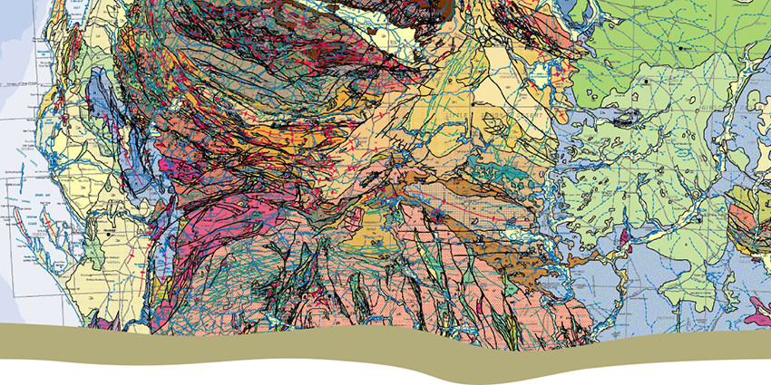
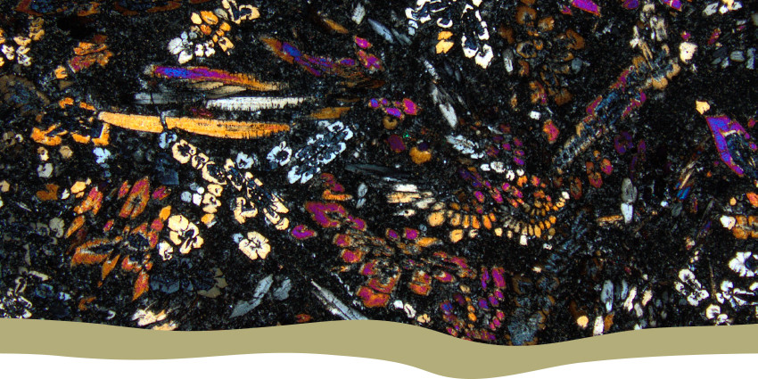
Garnering geoscientific knowledge — Building our geological understanding of the State by acquiring and synthesising pre-competitive data, and utilising collaborative research and strategic partnerships.
Transforming our data — Modifying the way we store, analyse and deliver our data to ensure it can move fluidly with emerging technology and innovation.
Strengthening our team — Building capacity for a high-performing workforce by attracting exceptionally skilled people, developing and enhancing their capabilities to ensure they have the resources to excel, and encouraging innovation.
Providing trusted information — Delivering trusted geoscientific information and advice to Western Australia’s government, community and resources industry.

Abandoned Mines Program
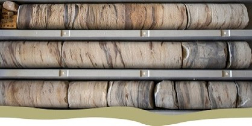
Core library services and samples

eBookshop
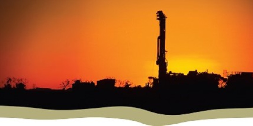
Exploration Incentive Scheme (EIS)

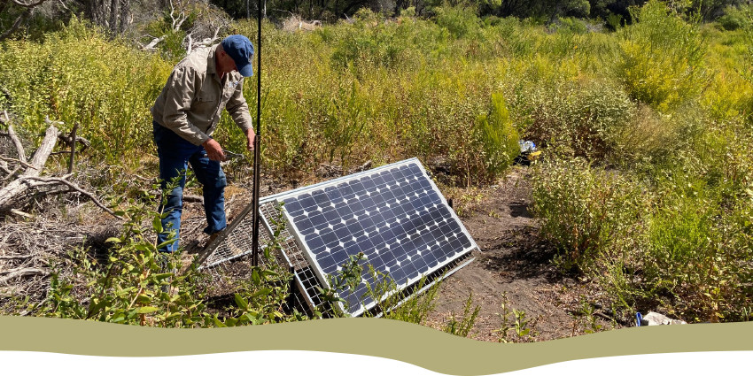
Programs and projects