The Geological Survey of Western Australia (GSWA) offers a wealth of trusted, world-class geoscientific information through manuscripts, maps, datasets, and more, all aimed at benefiting the Western Australian community and beyond.
You can access these valuable resources easily through the pages below. Most published materials are available at no cost, unless otherwise stated.
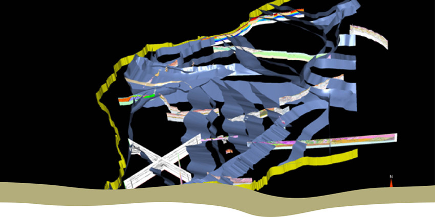
3D geoscience models
Integrated 3D structural models that reveal detail about the layers of the Earth beneath Western Australia.

DMPE eBookshop
Access almost 5000 geological products including books, maps, and data packages; mostly available for free.

Guidelines for publishing with GSWA
Important guidelines for the preparation of manuscripts to be published by GSWA.
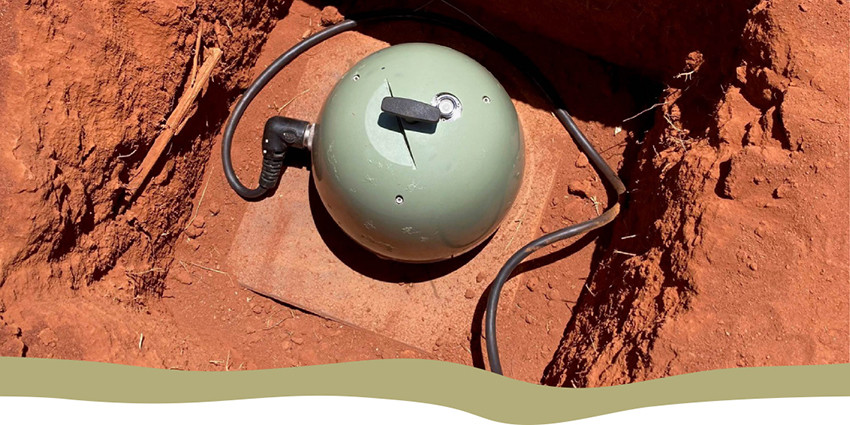
Regional geophysical survey data
Data from regional airborne magnetic, radiometric, and electromagnetic surveys, ground gravity surveys, and deep seismic and magnetotelluric surveys in Western Australia.
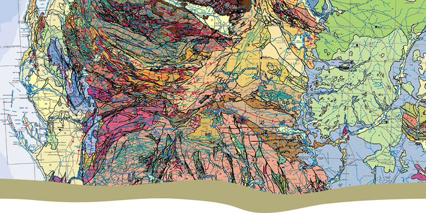
State maps and statewide datasets
Maps and digital spatial layers that show the geology of Western Australia; geophysical and geochemical datasets and images are also available.