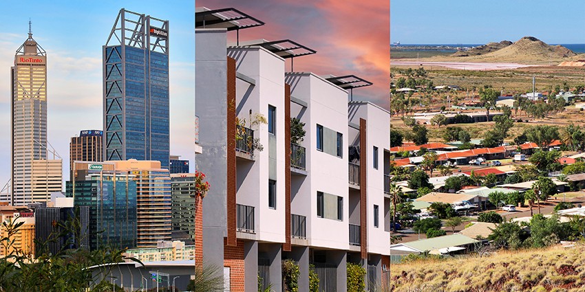
The Department leads integrated land use planning and development across Western Australia to help deliver environmental, community and economic benefits.
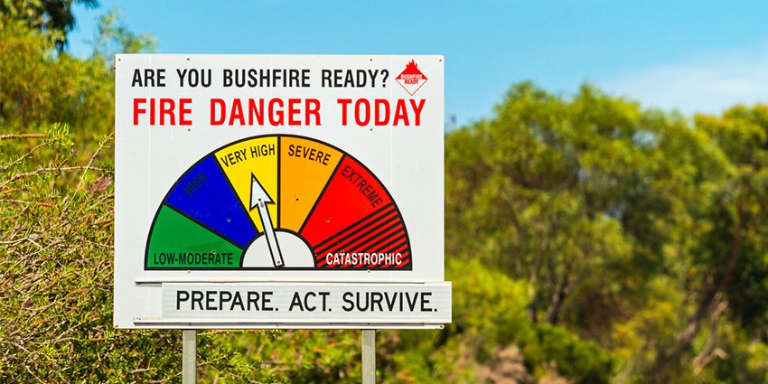
Bushfire management
State Planning Policy 3.7 Bushfire was published on 24 September 2024, operational from 18 November 2024, along with the Planning for Bushfire Guidelines.
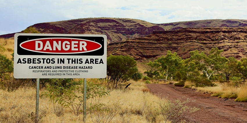
State land hazards and contaminated sites
Information on contaminated State land in Western Australia.
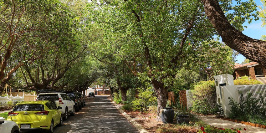
Urban Greening Strategy
The State Government is developing an urban greening strategy to help make Perth and Peel greener, cooler and more liveable into the future.
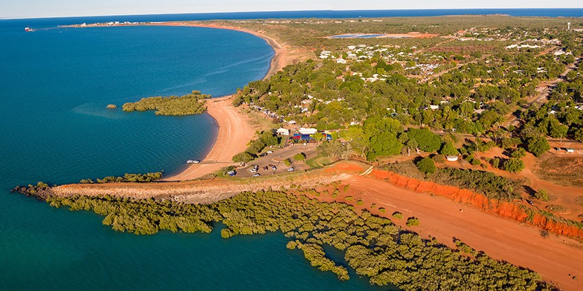
Land supply and demography
The department prepares a suite of products, including population forecasts, to help guide decision-making across the State Government on urban development and the provision of services to the community.

Land use and employment surveys
These surveys are conducted in relation to land owners intentions, planning for land use and ancillary dwellings.
Regional land supply assessments
Prepared as part of the Urban development program, and encompassing the former Country land development program, Regional land supply assessments (formerly the Regional HotSpots) report on major regional centres across the State on an as required basis.