See interactive mapping, digital data and static maps via the links below.
View planning data on PlanWA
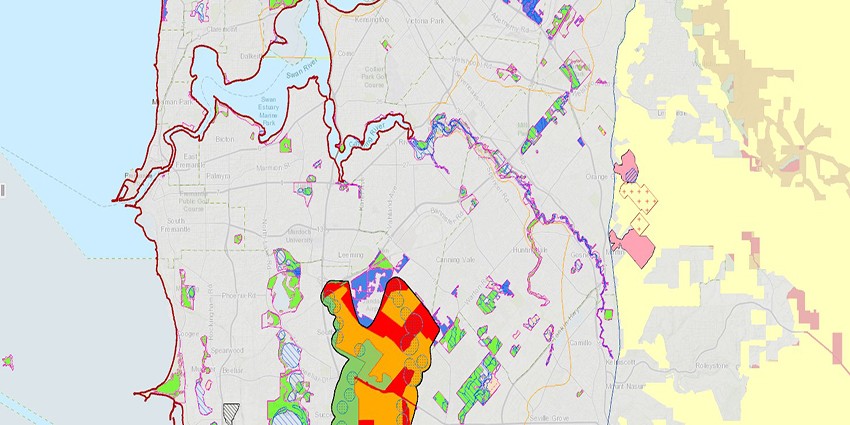
PlanWA is a public mapping tool that provides access to planning, land and heritage data across Western Australia.
Acquiring a region scheme certificate
Details of ways to obtain region scheme certificates under clause 63 of the MRS, clause 47 of the PRS and clause 53 of the GBRS.
Acquiring a statutory planning map dataset
Publication and statutory maps produced after 1991 are available in digital form.