


Collaboration for Grassland Protection on Muntulgura Guruma Country
Project overview
The Wintawari Guruma Aboriginal Corporation (WGAC) is delivering a baseline vegetation monitoring project conducting a mapping and condition assessment of a Priority Ecological Community (PEC) within the ex-Hamersley area. This project commenced in November 2025.
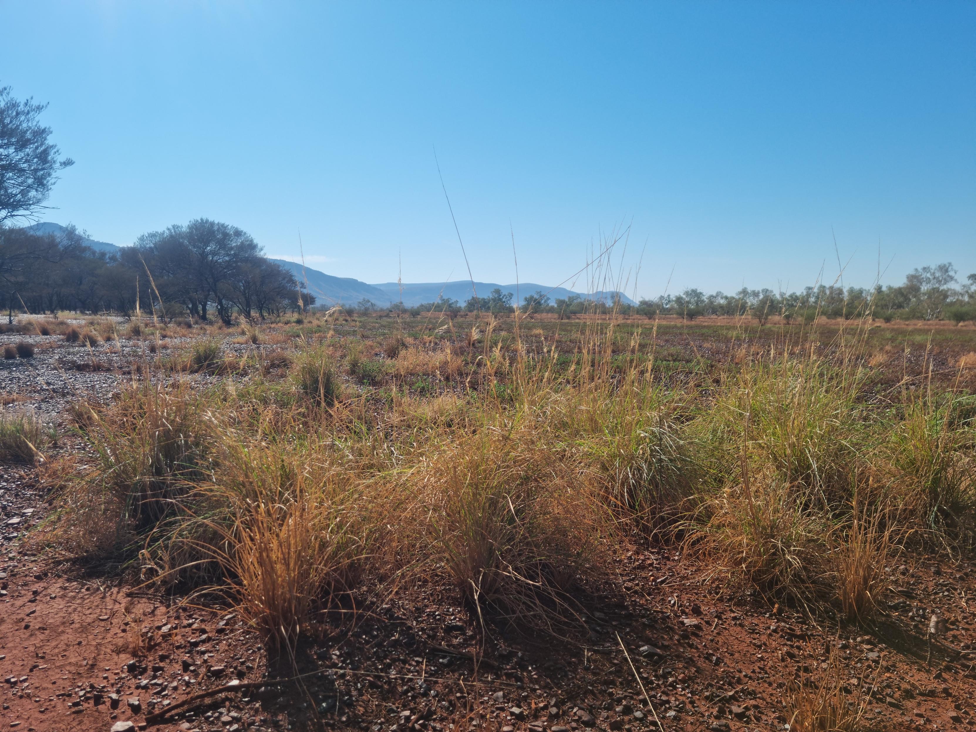
The project area, spanning roughly 28,000 hectares, directly abuts the western edge of Karijini National Park. It contains approximately 1,500 hectares of a rare and arable tussock grassland system; a PEC called the Brockman Iron cracking clay communities of the Hamersley Range found exclusively on Muntulgura Guruma Country.
Funding and program initiation
Through the Pilbara Environmental Offsets Fund (PEOF) and in partnership with WGAC, the Minister for the Environment has approved a $296,872 integrated weed management and condition monitoring program. The project was initiated to establish baseline condition of vegetation and understand the environmental threats facing this unique grassland system. Funding will offset residual environmental impacts from Good to Excellent vegetation and Brockman Cracking Clay PEC. The first phase of the project is to establish the baseline condition of the vegetation and understand the environmental threats facing this unique grassland system.
The heavy-clay soils undergo massive seasonal swelling and shrinking cycles, supporting specialised native vegetation like Mitchell grass (Astrebla lappacea). Because it sits outside formal conservation reserves, the area is highly vulnerable to unmanaged pressures.
Monitoring activities and achievements
WGAC is coordinating the project alongside Muntulgura Guruma Traditional Owners and supporting environment consultants to develop an understanding of the Brockman Cracking Clay PEC’s ecological condition and pressures.
The team is establishing monitoring quadrats across target management zones, control, and reference sites. Monitoring plots will provide ecological data to measure change including plant species composition, weed cover, grazing intensity and grassland health. This on-ground work is being combined with analysis of existing satellite imagery to map long-term trends in vegetation condition and fire history across the landscape.
Project outcomes and next steps
Following the establishment and monitoring of plots and collection of valuable baseline data, a comprehensive report and threat management plan will be developed to inform the next stage of this project, management and monitoring.
