We define the term 'waterway' as any river, creek, stream or brook, including its floodplain and estuary. This includes systems that flow permanently, for part of the year or occasionally; and parts of the waterway that have been artificially modified.
Some ways in which natural waterways may have been artificially modified include damming for water storage, diversion to a different flow path, excavation and straightening for increased drainage and filling for land reclamation, for example along the margins of estuaries.
Waterways terms and definitions
Show moreOn our waterways webpages we use the following terms. Other terms and definitions may be used for different purposes, such as in our water legislation. For examples, see the section below - Why do definitions matter?
Rivers, streams, brooks and creeks
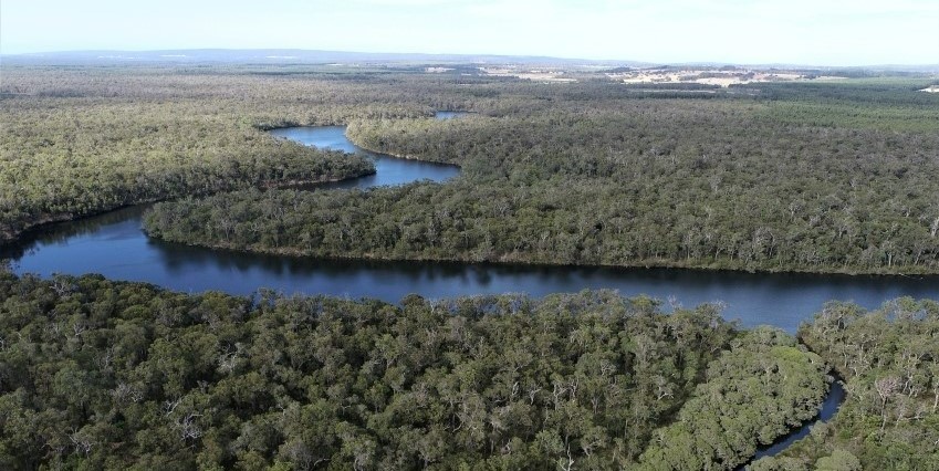
Different types of channels within a river system. Rivers are larger natural channels in which water can flow. Rivers usually have permanent water, though flow may be seasonal or intermittent. Permanent water may only be present in river pools at hot dry times of the year or during drought.
Streams and brooks are smaller channels with perennial flow that is usually maintained by discharge from groundwater sources, such as springs.
Creeks are smaller channels that may be dry for much of the time, with flows being seasonal or intermittent.
Estuaries
The lower part of a waterway that is affected by ocean tides and saltwater intrusion from the ocean.
An estuary’s main water body usually lies within a large shallow basin that may be semi-enclosed. However, estuaries in south-west Australia may extend kilometres up the adjoining channels, with the estuary’s upper limit defined by the extent of the saltwater intrusion. For example, the Swan Estuary extends 60 kilometres upstream from Fremantle to the confluence with Ellen Brook.
Floodplain
The portion of a river valley next to the river channel which is covered with water when the river overflows its banks during major river flows. The term also applies to land adjacent to estuaries which is subject to inundation during flooding.
This is a more general definition than ‘defined floodplain’ which is used to assess a specific degree of flood risk. Read more on our flood planning and mapping webpage.
Urban waterways
Waterways and associated water bodies in the urban environment, including natural features and those constructed as part of a drainage system.
Urban waterways may include:
- natural rivers, their floodplains and estuaries; associated wetlands or lakes (such as those situated within the floodplain)
- modified or artificial components of an urban water system including open unlined drainage channels; closed pipes and concrete drains; compensating basins and sumps; and water sensitive urban design structures such as rain gardens and swales.
Waterways management considerations
Show moreThe characteristics and management of rivers and estuaries are closely linked but are different. Estuaries are strongly influenced by the ocean as well as their contributing rivers and catchment – hence we assess and manage rivers and estuaries differently.
As an example, reductions in rainfall caused by climate change may reduce the flow in a river; but the water quantity, water quality, sediment and hydrodynamics in an estuary will be affected by the reduced river flow and sea level rise and complex interactions between these factors.
Urban waterways have the same characteristics as rivers and estuaries in non-urban landscapes, but they are subject to specific pressures from the urban environment, so they require specific management practices.
Why do definitions matter?
Show moreDefinitions are important because they determine whether specific legislation, policy and guidelines for management may apply to a particular water body, water feature or in a given situation. Some examples are given below. However, it is important to recognise that even where waterways, wetlands and groundwater are defined as separate ecosystems, they are often spatially and hydrologically connected in the landscape. For this reason, their management often requires integrated consideration of the ecosystems, their water sources and catchments.
Example 1
Within Western Australia’s land use planning and environmental impact assessment processes, waterways and wetlands are usually separated using the specific definitions provided above. Different protection mechanisms are likely to apply to each, such as foreshore areas (or foreshore reserves) to protect waterway values and wetland buffers for wetlands with conservation values.
Example 2
The Australian Government uses the Ramsar Convention’s definition of wetlands. Australia is a signatory to the Ramsar Convention, an international treaty for the conservation and wise use of wetlands which recognises a wide variety of natural and human-made wetland types, ranging from rivers to coral reefs. This definition has been used to identify Australia’s wetlands of national and international importance.
Example 3
The term ‘watercourse’ is defined in s. 3 of the Rights in Water and Irrigation Act 1914 and it is used in relation to water licences and bed and banks permits. A ‘watercourse’ may include the main channel, bed and banks of a waterway, but not the floodplain. A waterway includes the watercourse as well as its floodplain.
More information
Show moreThe following resources have more information about waterways:
Managing our waterways webpage
Department of Biodiversity, Conservation and Attractions’ webpage: Wetlands
Environmental Protection Authority (EPA) website and publications:
- Environmental Guidance for Planning and Development (GS 33) (2008):
- Chapter B4: Wetlands
- Chapter B5: Waterways
- Chapter B9: Karst, subterranean wetlands and fauna.
- Environmental Factor Guideline – Inland Waters (2018) which is relevant for environmental impact assessment (EIA).